Season chosen with the crop
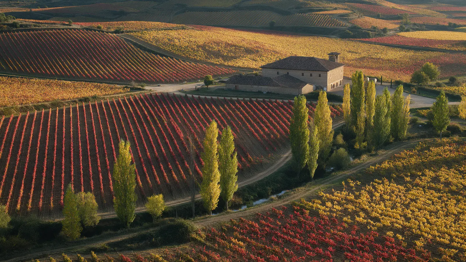
Vines in September, olives before the November harvest, cereals in May: we time the flight so the land looks as the buyer or customer will understand it.

AGRICULTURE
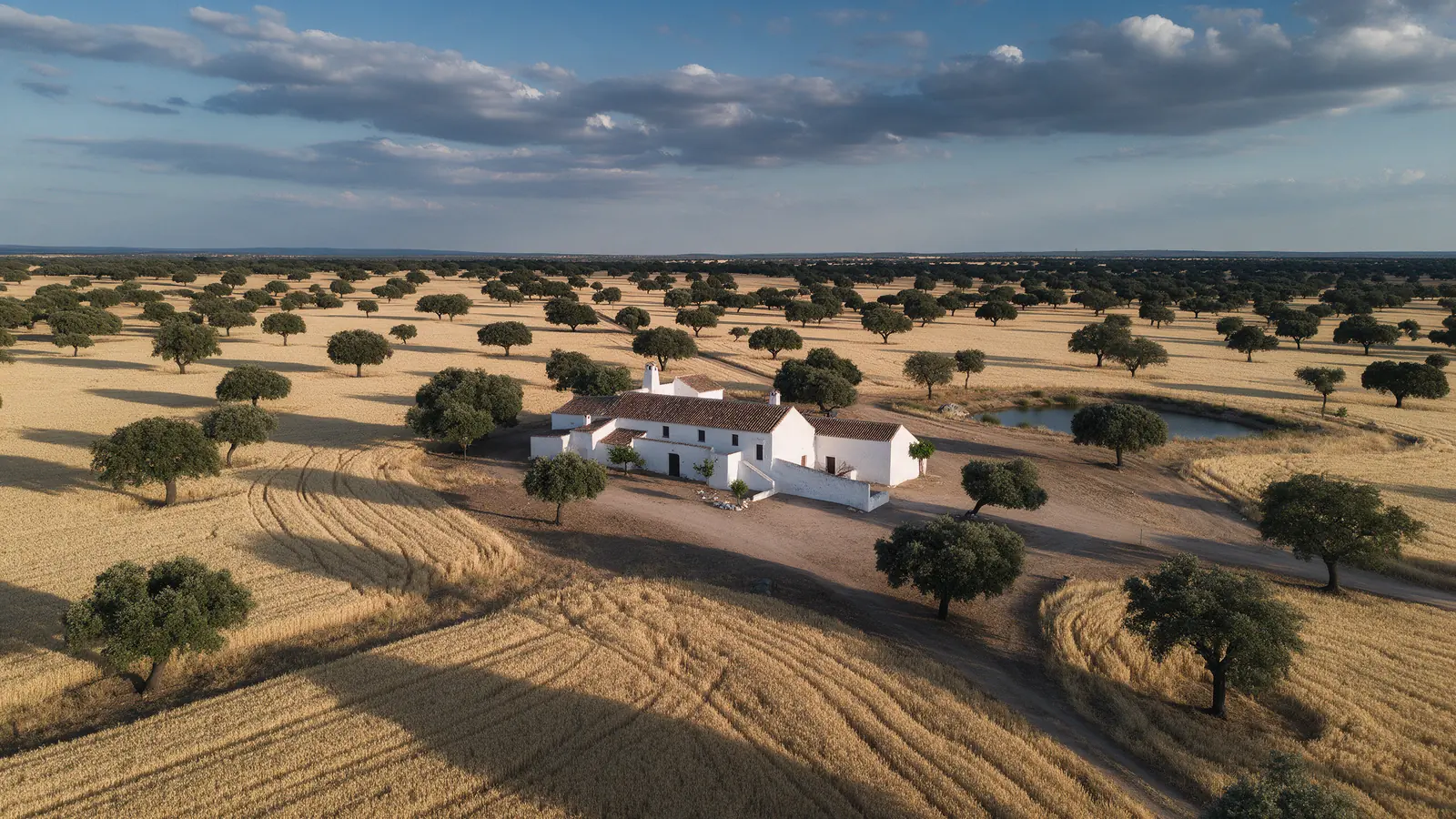
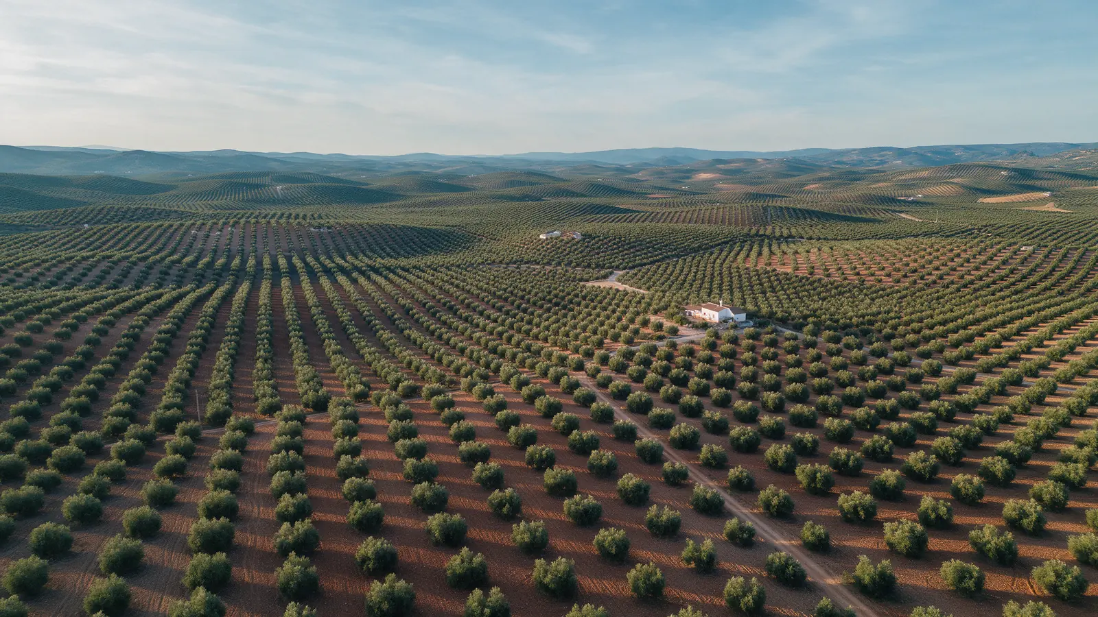
From olive groves in Jaén and vineyards in La Rioja to almond orchards in Murcia and dehesa estates in Extremadura, Spanish farmland reads best from above. We photograph plots, irrigation layouts, buildings and crop condition through the season for landowners, wineries and cooperatives who need to show, sell or document their land.
FOR YOUR PROJECT
Farmers, landowners, wineries, cooperatives, agricultural consultants and rural tourism businesses in Spain who need aerial imagery of land, crops or estates for sales, documentation or marketing.
WHY DRONEX
Vines in September, olives before the November harvest, cereals in May: we time the flight so the land looks as the buyer or customer will understand it.
Overhead frames show parcel edges, tracks, reservoirs, pivots and drip lines, helping owners document what exists before a sale, a lease or a subsidy application.
Aerial application of treatments needs specific authorisation and qualified operators. We assess such campaigns case by case and never present spraying as a standard service.
HOW IT WORKS
Location, date, service and deliverables in one short form.
We assess feasibility and prepare a detailed proposal.
We coordinate the operation and deliver the agreed files.
They give a buyer or valuer an honest picture of parcel shape, access, slope, plantation density and buildings in one set of images. Boundary lines shown are indicative from the flight; legal boundaries still come from the cadastre and a surveyor.
We can capture multispectral or mapping imagery when the scope requires it, but interpreting plant stress, yield or treatment needs is agronomy work for a qualified consultant. We agree with them what to capture, when and at what resolution.
Yes, and harvest is one of the best moments for winery marketing. We keep the aircraft away from pickers and machinery, coordinate with the foreman on timing, and avoid flights over guests at events, framing them from the side instead.
NO-OBLIGATION QUOTE
Complete one request. We will respond with feasibility, scope and price.
Request a quote from €350