Current, not archived
The map shows the site as it is this week, including new works, vegetation, water levels and vehicles, which no downloaded imagery can match.

MAPPING
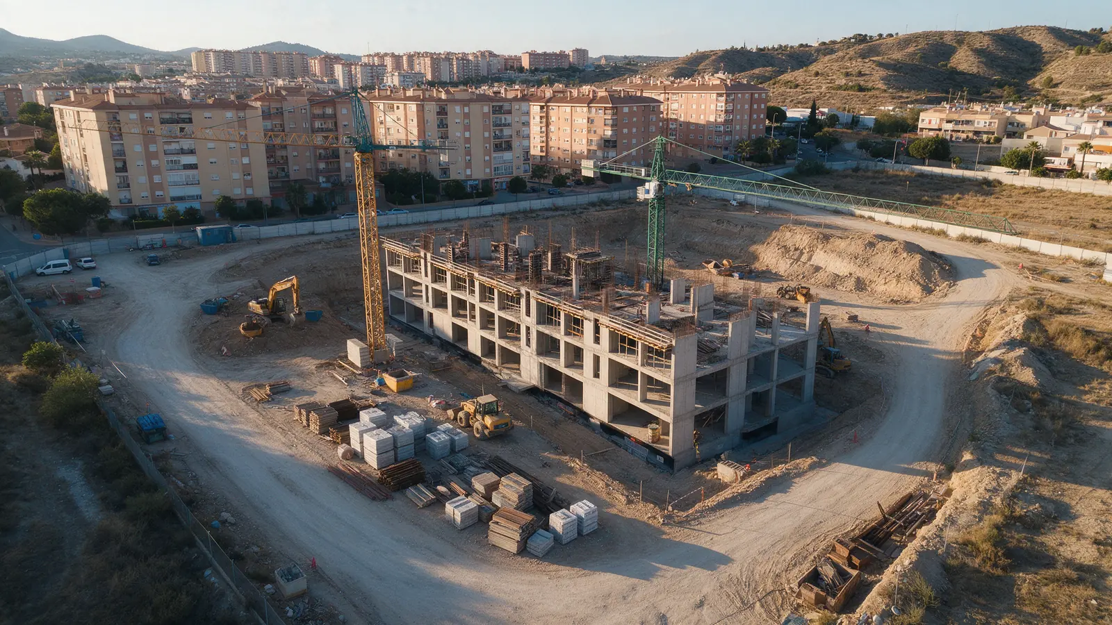
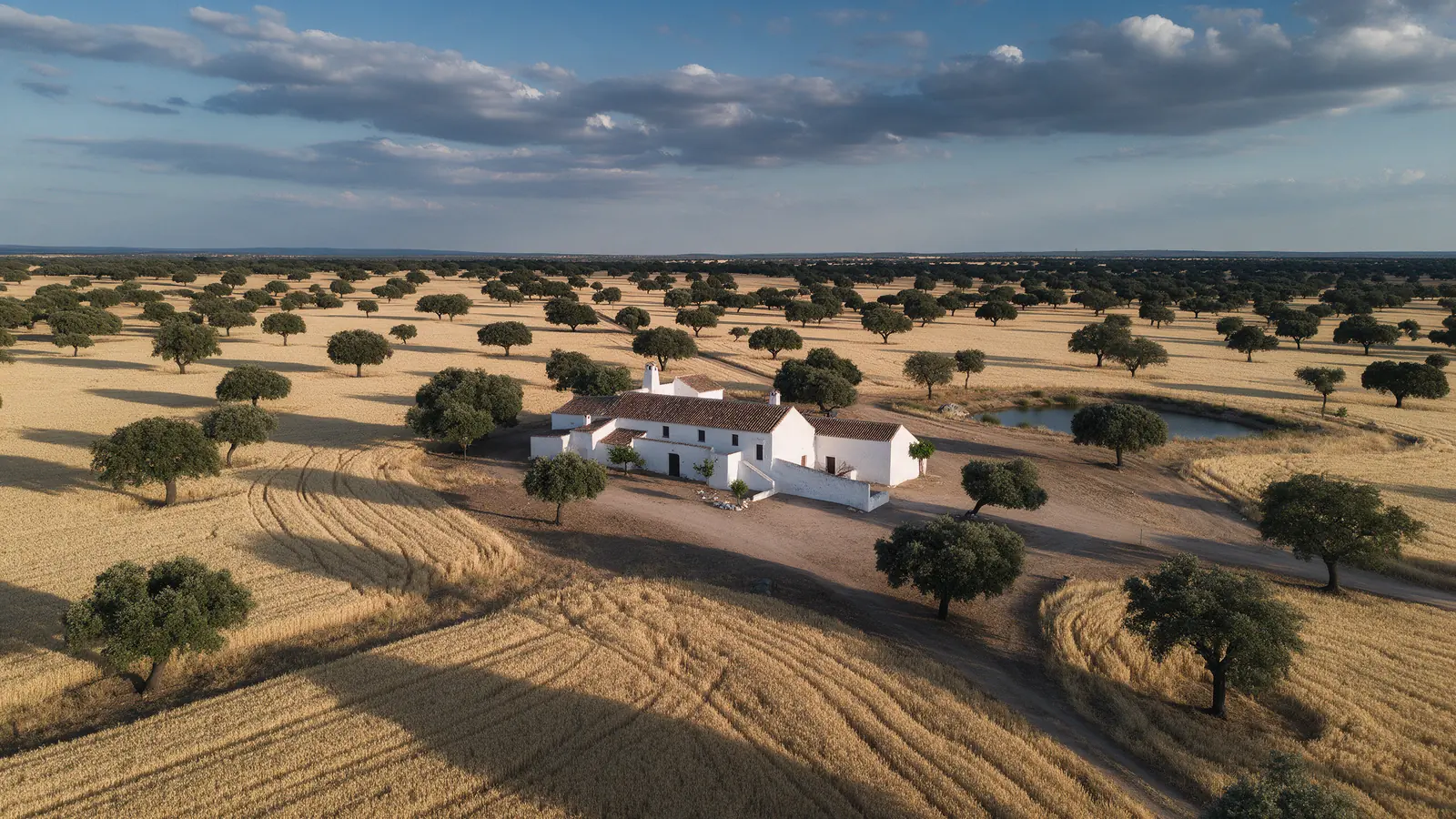
Satellite imagery of a Spanish site is often months old and too coarse to show a fence line. We fly mapping missions that produce a current, centimetre-resolution orthomosaic of the exact area you care about, whether that is a development plot, a vineyard, a landfill or a stretch of coast.

FOR YOUR PROJECT
Developers, planners, environmental consultancies, farm managers, local authorities and estate agents who need an up-to-date, measurable aerial map rather than an old satellite view.
WHY DRONEX
The map shows the site as it is this week, including new works, vegetation, water levels and vehicles, which no downloaded imagery can match.
A planning overview and a drainage check need different detail. We set altitude and overlap to the ground sampling distance you actually need.
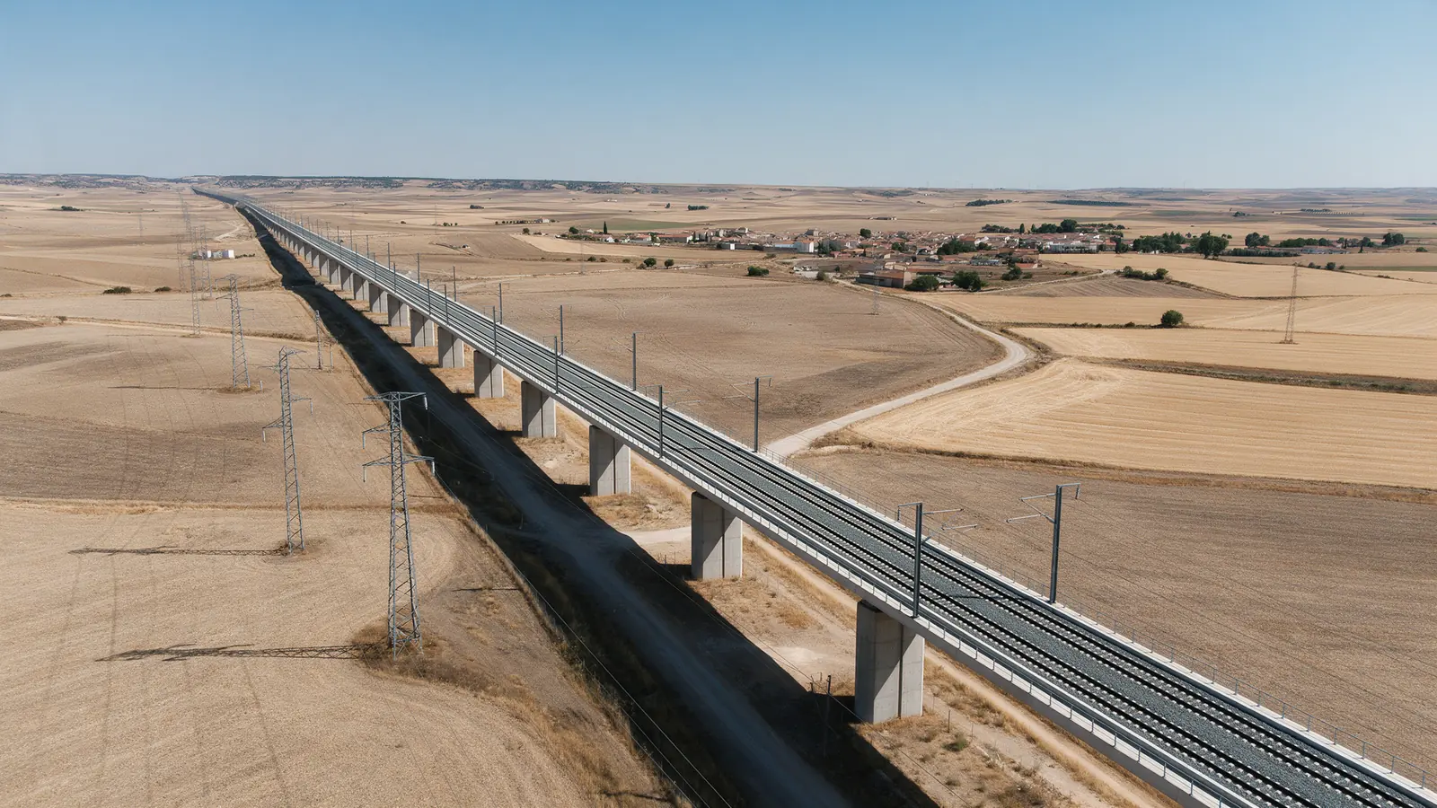
Saved flight plans mean repeat maps line up, so erosion, construction progress or crop condition can be compared visually across visits.
HOW IT WORKS
Location, date, service and deliverables in one short form.
We assess feasibility and prepare a detailed proposal.
We coordinate the operation and deliver the agreed files.
A georeferenced GeoTIFF orthomosaic by default, plus a web-friendly tiled version or a simple image export. Elevation models and point clouds can be added when your workflow needs them.
A drone orthomosaic is excellent for visual planning and monitoring, but boundary determination and certified measurements are the work of a licensed surveyor. We can capture with ground control so their process is supported.
Yes, subject to the airspace and any protected natural area rules at the exact location, which we review beforehand. Repeat flights at the same tide and season give the clearest comparison.
NO-OBLIGATION QUOTE
Complete one request. We will respond with feasibility, scope and price.
Request a quote from €350