Wildlife-first flight planning
We avoid nesting seasons, keep distance from bird colonies and follow the flight conditions set by the park authority, even when it means a smaller shot.

ENVIRONMENT
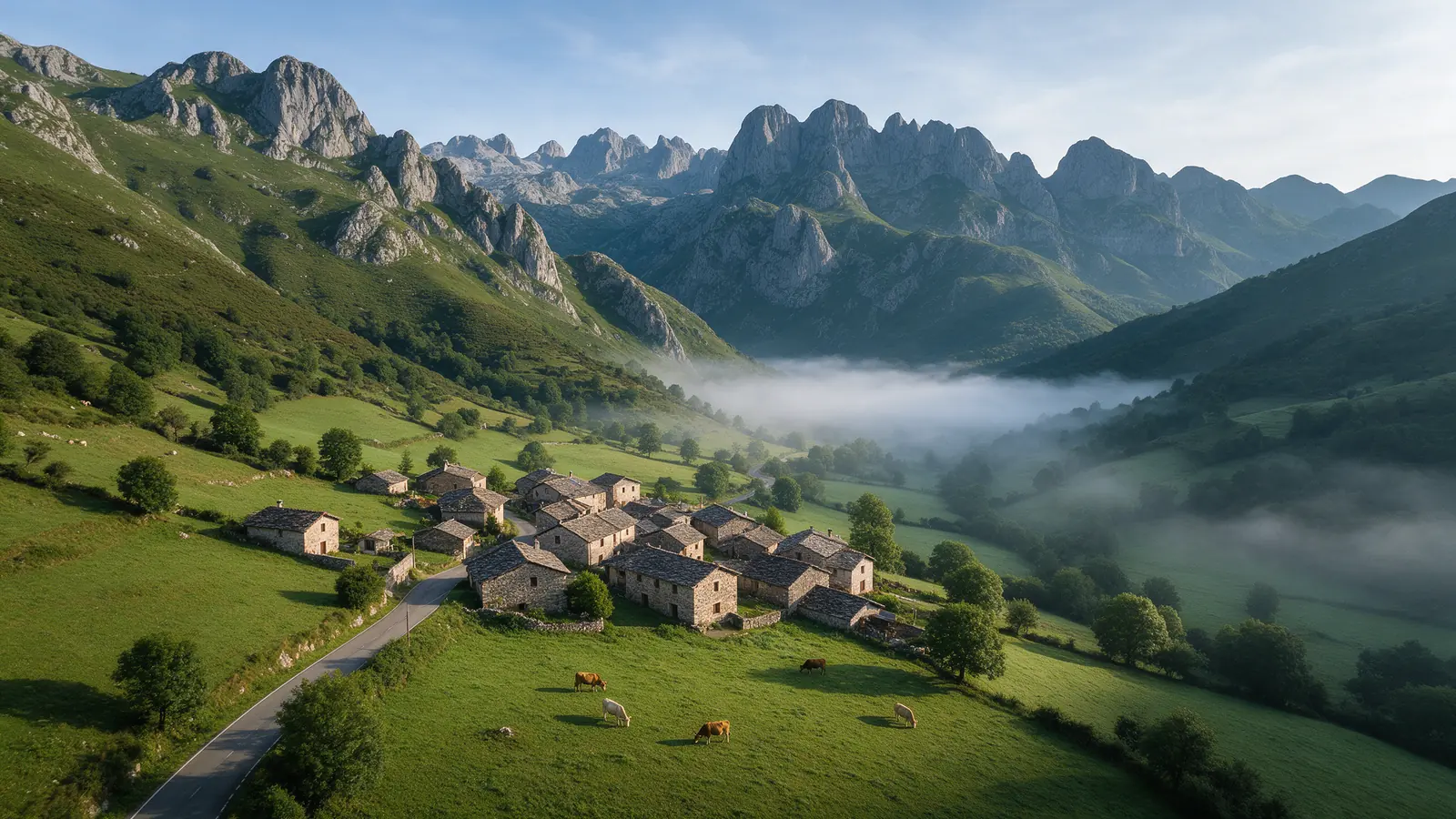
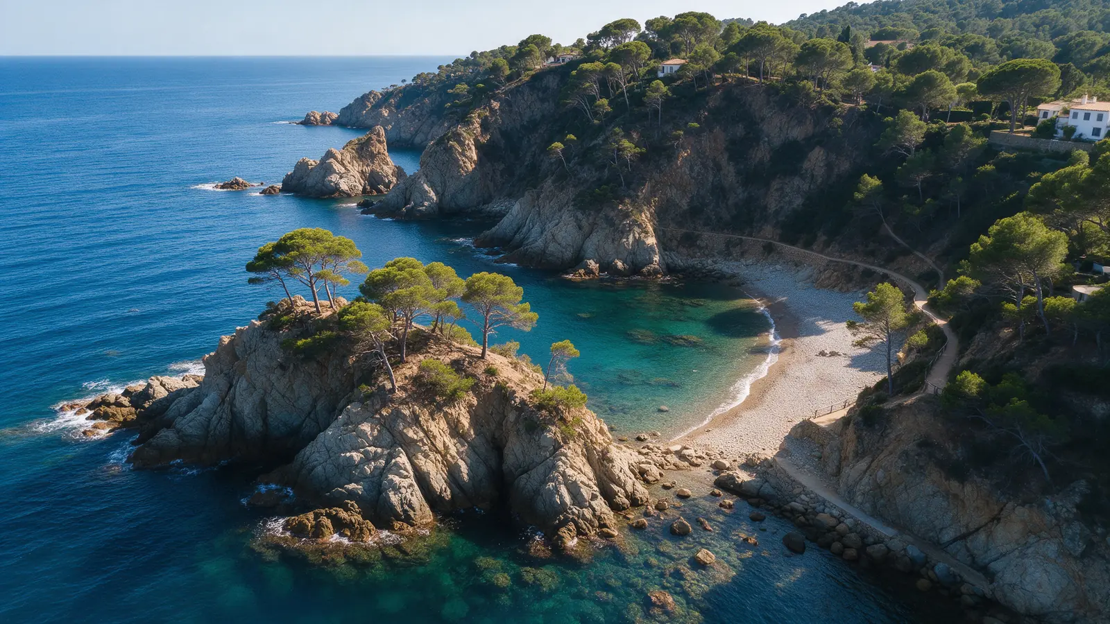
Spain's environmental work happens in places that are often protected: the Ebro Delta, Doñana, the Cantabrian estuaries, burnt hillsides being replanted, rivers where weirs are being removed. We document those sites from the air for consultancies, universities and land managers, only after checking the natural-space rules that apply and coordinating with the managing authority where needed.

FOR YOUR PROJECT
Environmental consultancies, research groups, universities, foundations, NGOs and public land managers working on habitat, coastal, river or restoration projects in Spain that need repeatable aerial records.
WHY DRONEX
We avoid nesting seasons, keep distance from bird colonies and follow the flight conditions set by the park authority, even when it means a smaller shot.
Fixed flight lines and camera settings let a dune, a riverbank or a replanted slope be photographed identically across seasons and years.
Ecological interpretation, habitat classification and official monitoring reports remain with your scientists; we supply the georeferenced imagery they work from.
HOW IT WORKS
Location, date, service and deliverables in one short form.
We assess feasibility and prepare a detailed proposal.
We coordinate the operation and deliver the agreed files.
Only where the park's rules and the airspace allow, and often only with authorisation tied to a research or management purpose. We check the specific site, help you understand what the managing body will ask for and do not confirm until that is clear.
It can serve as visual evidence of site condition, vegetation cover or coastal change at a given date. The analysis and any conclusions belong to the qualified environmental consultant signing the report; we deliver dated, located imagery for that purpose.
Yes. Beaches, dunes and cliffs in Cantabria, Galicia, the Ebro Delta or the Costa de la Luz change season by season, and repeat flights on the same lines show that change clearly. Protected coastal sites need review before each visit.
NO-OBLIGATION QUOTE
Complete one request. We will respond with feasibility, scope and price.
Request a quote from €350