Capture designed for processing
Altitude, overlap, camera angle and speed are chosen for the software you use, so reconstruction does not fail on thin coverage or motion blur.

PHOTOGRAMMETRY
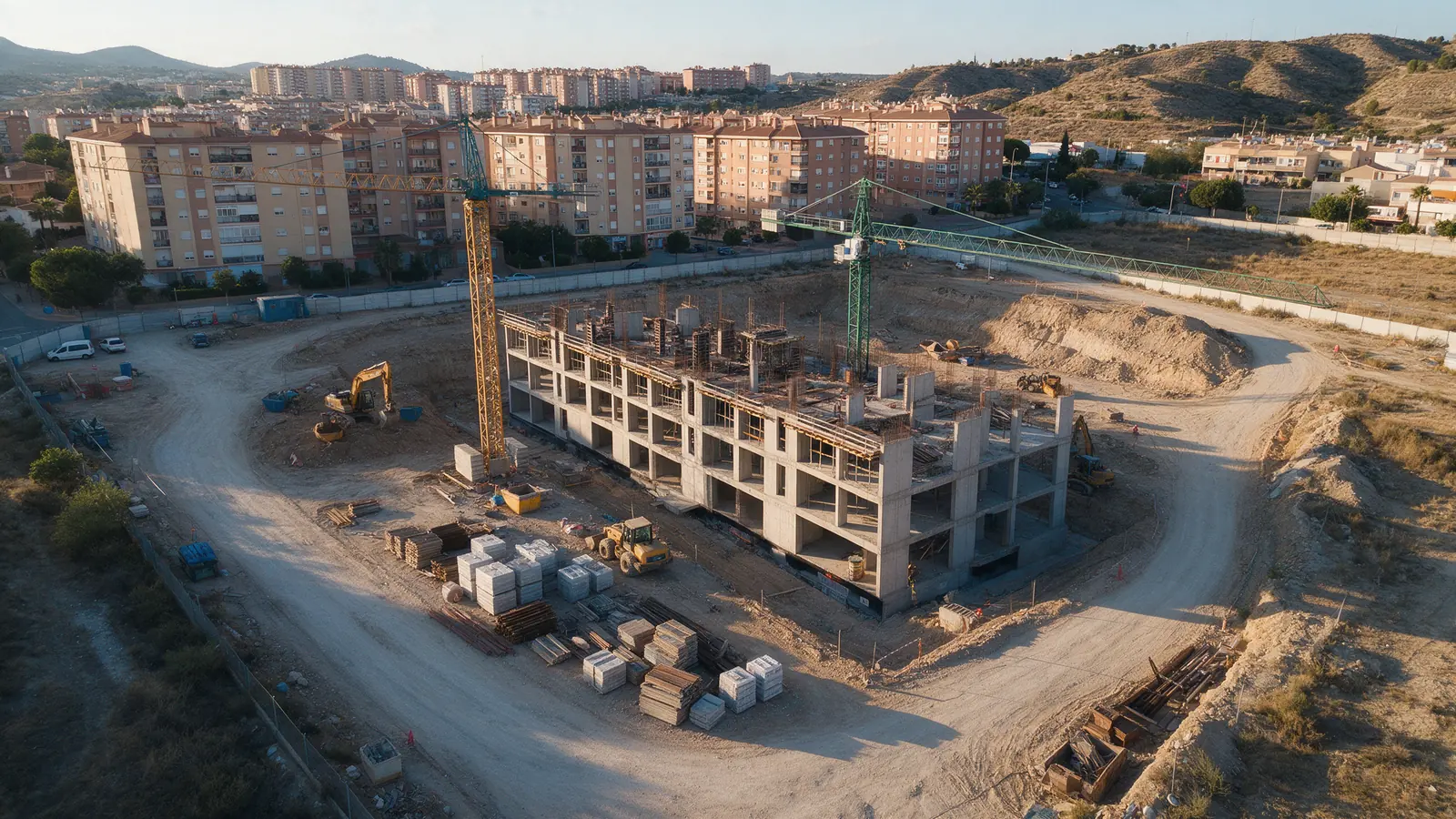
We fly systematic grid and oblique missions over sites, buildings and land parcels so the image set processes cleanly in software such as Pix4D, Metashape or DroneDeploy. You receive calibrated, well-overlapped photographs with flight logs, ready for your surveyor, engineer or 3D artist.
FOR YOUR PROJECT
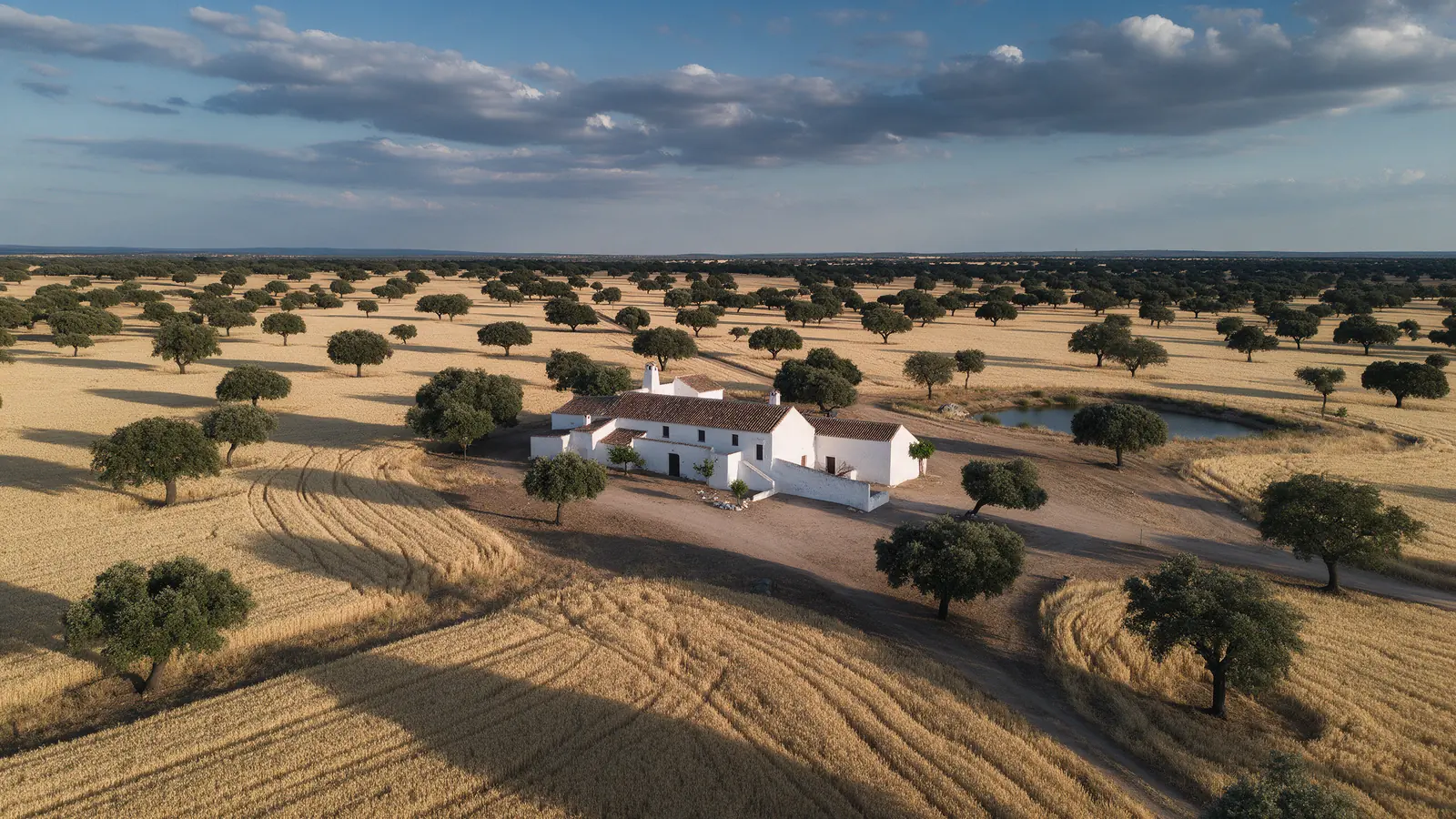
Surveying firms, civil engineers, architects, quarry operators, heritage teams and developers who need reliable aerial image sets from Spanish sites but do not want to send their own equipment and pilot.
WHY DRONEX
Altitude, overlap, camera angle and speed are chosen for the software you use, so reconstruction does not fail on thin coverage or motion blur.
If your surveyor places targets, we photograph each one from several angles and log its position so the model can be scaled and georeferenced.
We deliver the image set and, if agreed, a processed model; measurements and technical conclusions belong to the qualified professional who signs them.
HOW IT WORKS
Location, date, service and deliverables in one short form.
We assess feasibility and prepare a detailed proposal.
We coordinate the operation and deliver the agreed files.
We provide the flight and the data. Processing into an orthomosaic or 3D model can be included, but accuracy statements, measurements and reports are produced by your surveyor or engineer, exactly as agreed in the scope.
It depends on flight altitude, camera, overlap, ground control and the processing done afterwards. We plan the capture to the accuracy your professional needs and state the parameters we flew, without guaranteeing a figure the software has not verified.
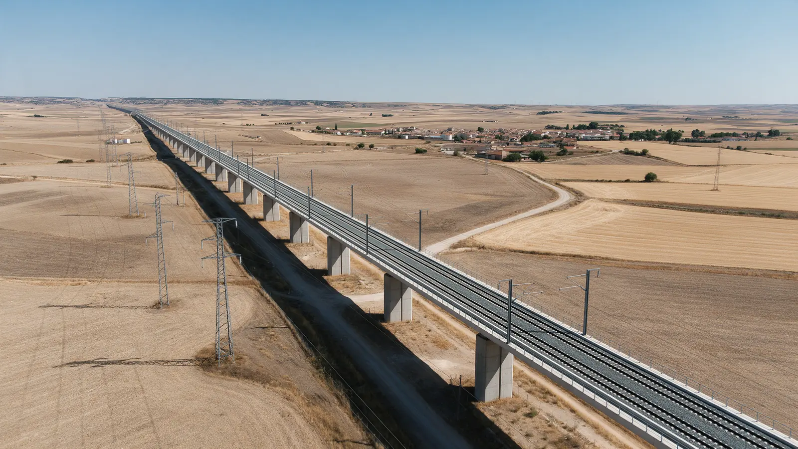
A single site of a few hectares is usually flown in one visit; larger parcels, quarries or linear works are split into several missions and days. Tell us the boundary and the ground sampling distance you need and we plan the batteries and time.
NO-OBLIGATION QUOTE
Complete one request. We will respond with feasibility, scope and price.
Request a quote from €350