Plan view for logistics
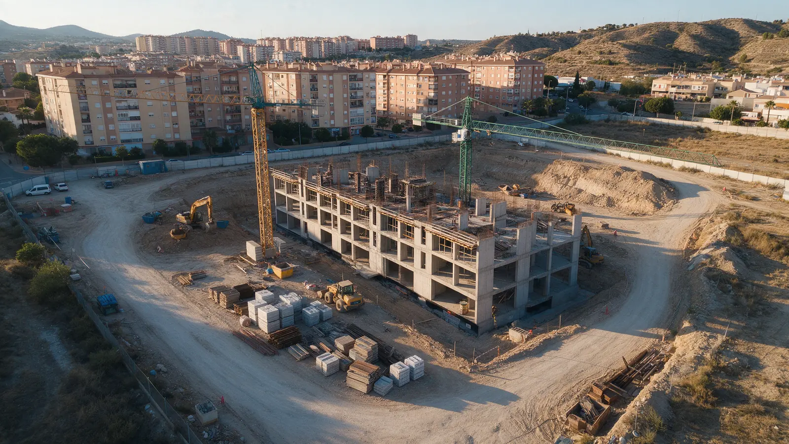
A straight-down site image on the day of the flight helps site teams plan crane positions, deliveries and hoarding lines with a current picture, not last month's drawing.

CONSTRUCTION
Beyond progress tracking, a construction site needs aerial material for different audiences: the client wants a milestone film, the marketing team wants a hero shot of the topped-out structure, and the site manager wants a plan view to brief logistics. We fly one visit and cut the material for each of those uses.
FOR YOUR PROJECT
Contractors, developers, project managers, engineers and architects in Spain who need site imagery for reporting, marketing, logistics planning and handover documentation on the same project.
WHY DRONEX
A straight-down site image on the day of the flight helps site teams plan crane positions, deliveries and hoarding lines with a current picture, not last month's drawing.
Practical completion deserves more than a snagging list. We film the finished building in context for the client, the contractor's portfolio and awards entries.
The pilot signs in, wears PPE, briefs the site manager, avoids crane radii and flies from an agreed area, so the visit fits site rules rather than disrupting them.
HOW IT WORKS
Location, date, service and deliverables in one short form.
We assess feasibility and prepare a detailed proposal.
We coordinate the operation and deliver the agreed files.
We can capture the overlapping imagery a surveyor needs, but calculating cut and fill volumes or producing a certified survey is the job of a qualified topographer or engineer. Agree that scope with us and with them before the flight so capture settings match.
Yes. Linear projects benefit from aerial overviews that show the whole alignment in one frame. Rail corridors and motorways involve their own access rules and sometimes restricted airspace, so we coordinate with the contractor's safety team before each visit.
You own the delivered material and can share it with the client, subcontractors and consultants. If several parties want separate edits, say so at the start and we structure delivery and any additional editing accordingly.
NO-OBLIGATION QUOTE
Complete one request. We will respond with feasibility, scope and price.
Request a quote from €350