Volumes without walking the pile
Stockpiles, cuts and fills are covered from above in minutes, giving your team a repeatable dataset for monthly volume comparisons and reconciliation.

TOPOGRAPHIC SURVEY
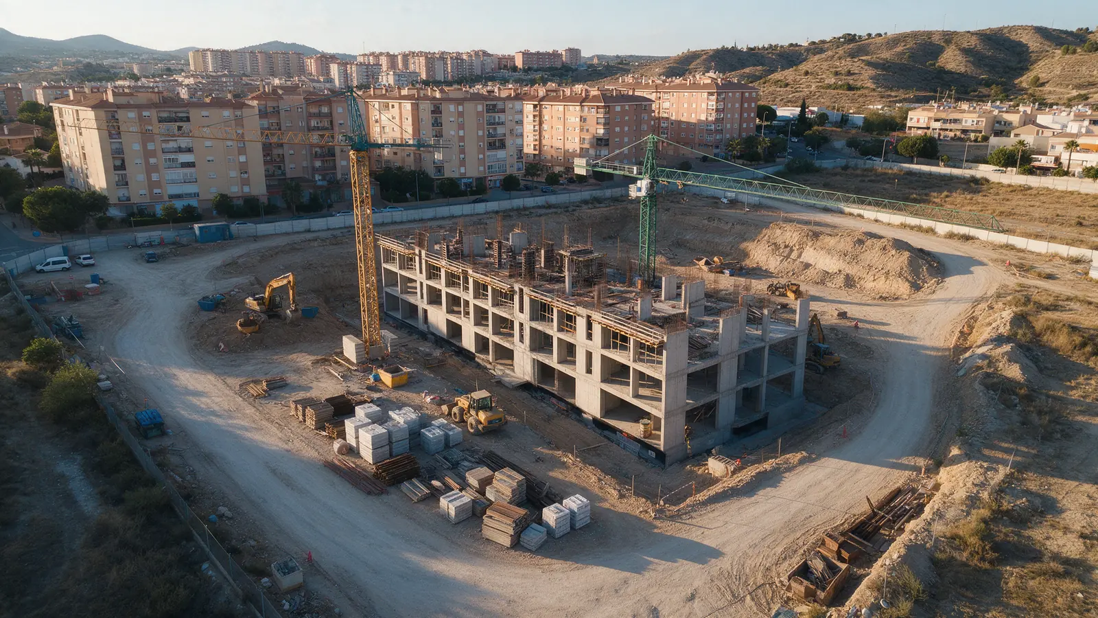
We fly the data capture for topographic work on plots, quarries, road corridors and construction sites across Spain, with control targets and consistent overlap. The aerial imagery and logs go to the surveyor or engineer responsible for the terrain model, contours and any signed drawings.

FOR YOUR PROJECT
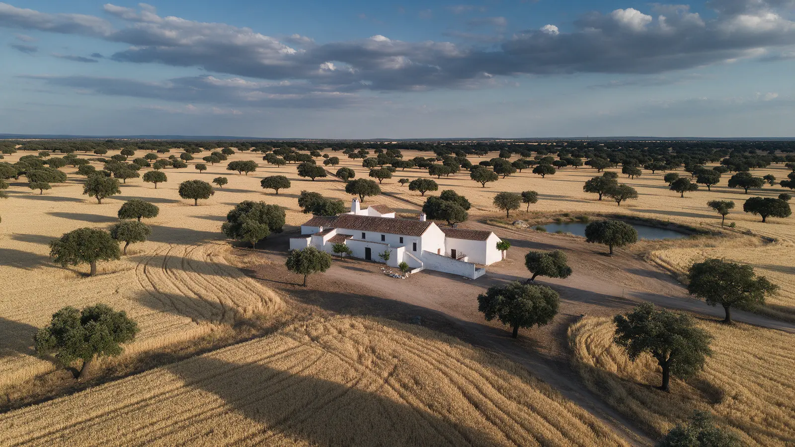
Topographers, civil engineering consultancies, earthworks contractors, quarry operators and landowners who need current terrain data for design, volume checks or planning applications in Spain.
WHY DRONEX
Stockpiles, cuts and fills are covered from above in minutes, giving your team a repeatable dataset for monthly volume comparisons and reconciliation.
We ask which software and coordinate system you work in and shape the flight, file naming and delivery to slot straight into it.
Steep, vegetated or fenced parcels that are slow on foot are planned from the map and flown from sensible take-off points, saving a day of walking.
HOW IT WORKS
Location, date, service and deliverables in one short form.
We assess feasibility and prepare a detailed proposal.
We coordinate the operation and deliver the agreed files.
No. We provide the planned aerial capture and, if agreed, processed data. The topographic survey itself, its accuracy statement and any signed plans are produced by the qualified professional you appoint for the job.
Usually yes. We agree a time with the site manager, keep the aircraft away from cranes and workers and fly the mission in a short window so the construction programme is not interrupted.
Monthly flights are common for volume tracking, with extra visits at milestones. Because the flight plan is saved, each repeat covers the same ground and the datasets compare cleanly from one month to the next.
NO-OBLIGATION QUOTE
Complete one request. We will respond with feasibility, scope and price.
Request a quote from €350