Long roads, planned routes
Sites in Soria can be an hour apart on quiet roads, so we sequence several locations per day and itemise travel once in the proposal.

DRONE SERVICES SORIA
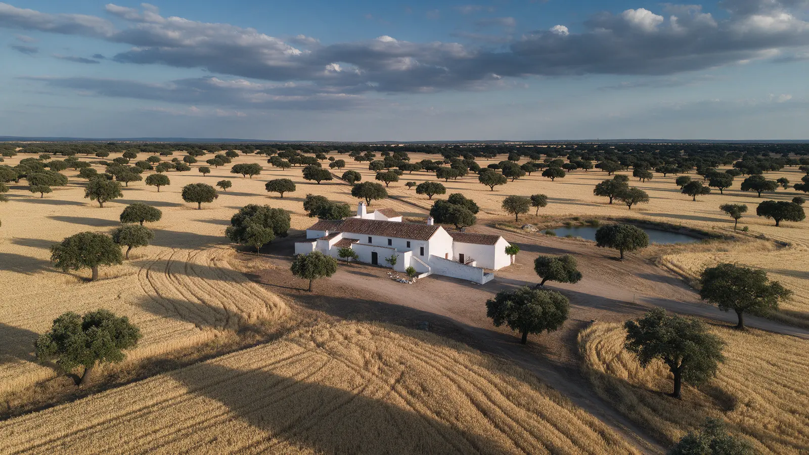
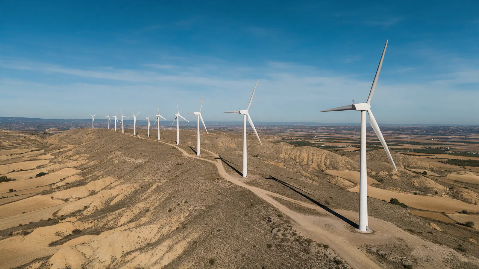
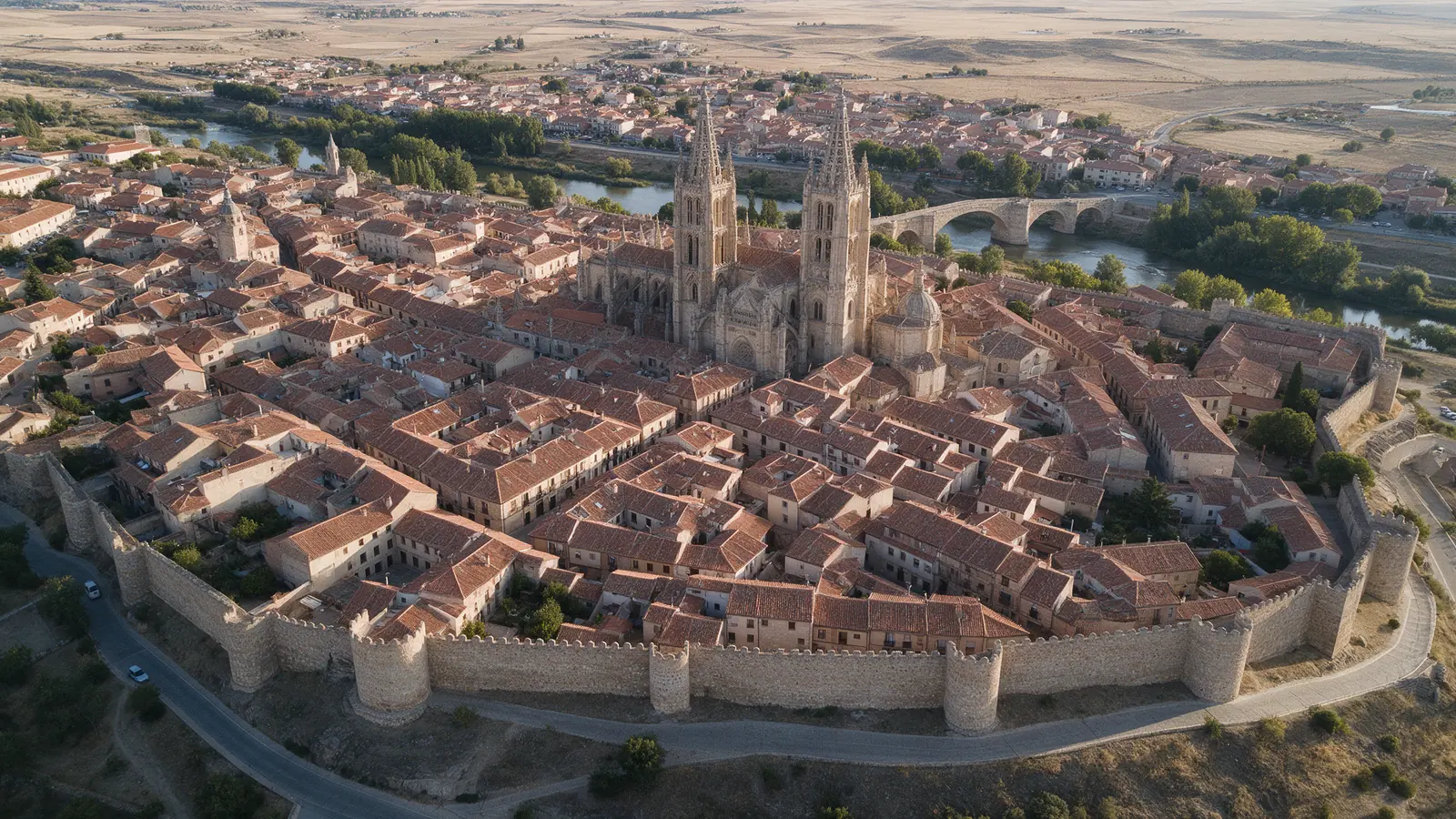
Soria is one of the emptiest provinces in Spain, with pine forests around Covaleda and Duruelo, the Duero winding past Numancia and El Burgo de Osma, wind farms on the ridges and dark night skies. Timber companies, energy operators, estate buyers and tourism boards brief us in English, and we plan flights across long distances.
FOR YOUR PROJECT
Timber, resin and truffle producers in the Pinares, wind farm owners and maintenance teams, buyers of farmland and hunting estates, rural hotels around Vinuesa and the Laguna Negra, and tour operators selling Numancia, Medinaceli and astrotourism.
WHY DRONEX
Sites in Soria can be an hour apart on quiet roads, so we sequence several locations per day and itemise travel once in the proposal.
Soria has very cold winter nights for mainland Spain, which brings exceptionally clear air for landscape work but demands careful battery planning.
The canyon is a natural park with vulture colonies, so requests near Ucero are checked against boundaries and nesting season before confirming.
HOW IT WORKS
Location, date, service and deliverables in one short form.
We assess feasibility and prepare a detailed proposal.
We coordinate the operation and deliver the agreed files.
Yes. We plan turbine overviews, access tracks and substation context as visual records for owners and maintenance contractors, agreeing the scope with your engineers. Any technical assessment of the images stays with your qualified team, and files arrive in organised folders.
We do. Pine stands around Covaleda, Duruelo and Navaleno show density, tracks, firebreaks and boundaries clearly from above, and buyers abroad receive a structured set of images and a short video by download link.
The Laguna Negra sits in a protected natural area with seasonal restrictions and popular trails, so flights there are not assumed. We check the specific spot and purpose, coordinate where feasible and suggest nearby pine and ridge viewpoints when the lagoon itself is off limits.
NO-OBLIGATION QUOTE
Complete one request. We will respond with feasibility, scope and price.
Request a quote from €350